Know what's nearby
Aircraft on the map. Distance and direction in the list. Filter the view to focus on what matters to you.
FOR IPHONE & ANDROID
A radar for the aircraft around you. See their distance and direction, recognize police helicopters, and choose the alerts you want to hear.
Free download. Optional Pro subscription.
Open the live mapA LOOK AT RADARCOPTER 2.0
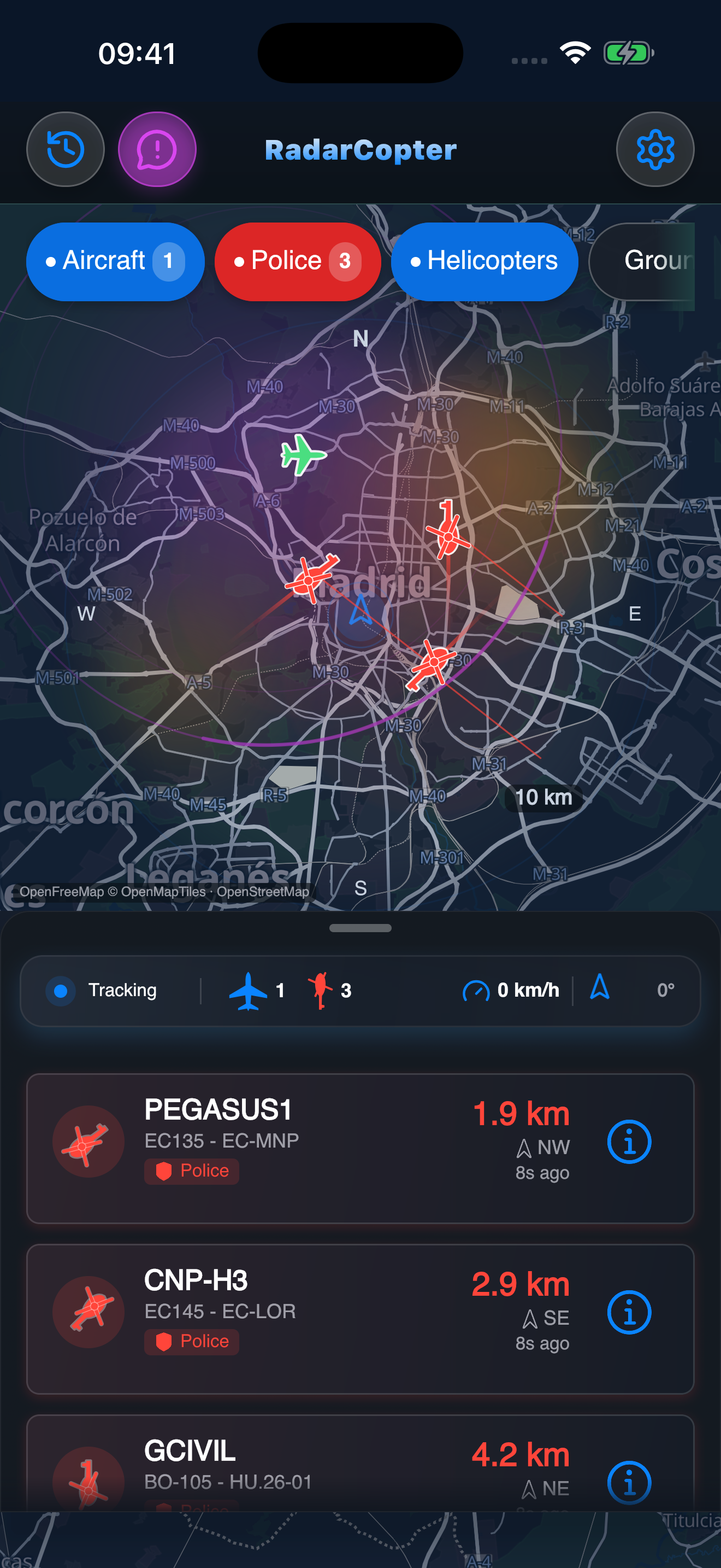
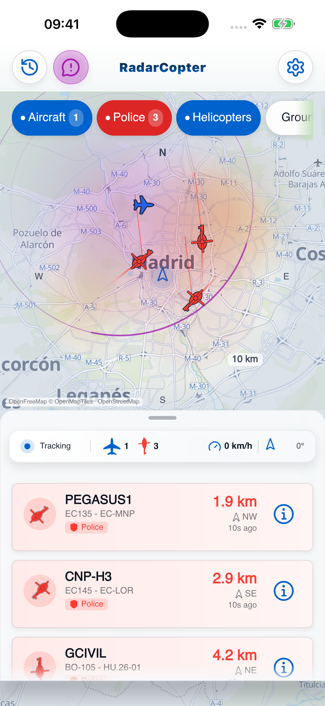
Aircraft on the map. Distance and direction in the list. Filter the view to focus on what matters to you.
Supported registrations and flight data help identify police helicopters. Missing data is never proof that an aircraft isn't there.
Choose your radius and voice, sound or silent alerts. Light and dark views keep the same information close at hand.
Police-aircraft identification includes a maintained registry across 26 European countries. What appears on your radar depends on available transmissions, receiver coverage and the data providers.
Not every aircraft broadcasts a usable position, and reception varies. Check location access, internet and scan radius. Data may be delayed or unavailable; an empty radar does not prove the airspace is clear.
RadarCopter combines Flightradar24 and ADSB.lol data. Identification and position updates depend on what those providers can observe.
Background monitoring is available with the required permissions and app settings. It is time-limited and may pause; check the app's scanning status. Device and operating-system restrictions can also affect updates.
The iOS 2.0 update being prepared includes CarPlay. The screenshots here preview 2.0; the version currently available in your store may differ. Set up the app before driving and keep your attention on the road.
Yes. Use the Google Play button above for the existing Android app. The images on this page are iPhone previews of the upcoming 2.0 update.
Location access makes nearby scans possible. For information about data handling and in-app reports, read the Privacy Policy below.
Use Report a Problem in the app, or contact support@radarcopter.org. Include your app version and a description of what happened.